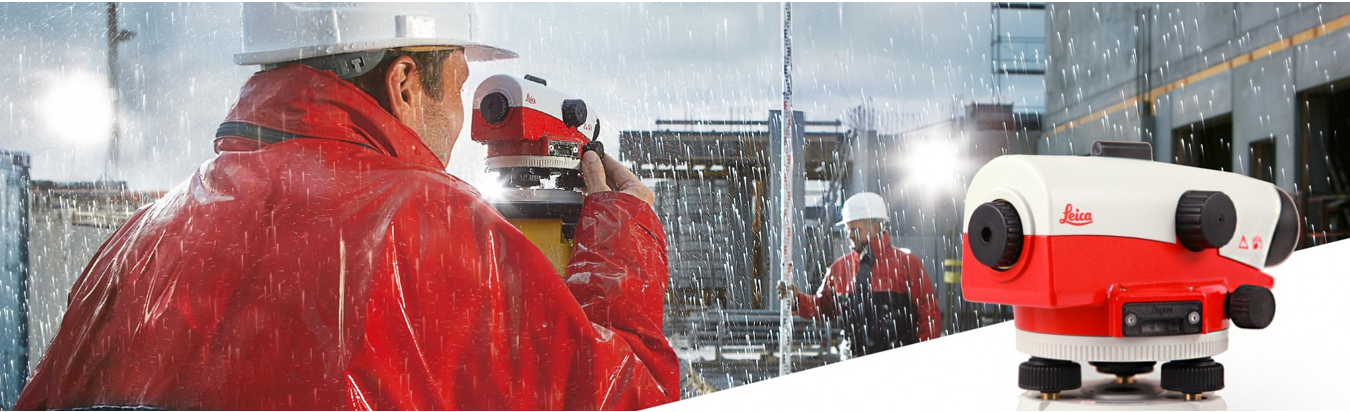
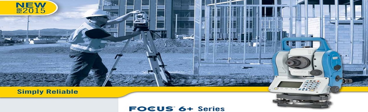

MÁY ĐỊNH VỊ GPS CẦM TAY
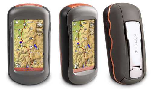
Máy định vị GPS Garmin Oregon 450 (máy định vị cầm tay)
Liên hệ 0987831661
Liên hệ : 0987831661
Số lượng
Thêm Vào Giỏ Hàng
Thông Tin Chi Tiết

Mô tả sản phẩm
Máy định vị cầm tay GPS Garmin Oregon 450
- Màn hình màu TFT, độ phân giải: 240 x 400 pixels
- Bộ nhớ trong 850MB; Thẻ nhớ 1 GB + Bản đồ Việt Nam;
- Lưu nhớ được 1000 điểm , mỗi điểm có thể đặt tên đặt biểu tượng thích hợp
- Số lộ trình: 50 lộ trình có thể đảo chiều + 125 điểm nhớ trên mỗi lộ trình
- Lưu lại được trong máy 200 khu vực đo; 10.000 điểm nhớ trên track log;
- Tự động vẽ lưu lại khu vực đo, khảo sát; Tính chu vi và diện tích khu vực đo trong máy;
- Hệ tọa độ: Lat/Lon, UTM/UPS, Maidenhead, MGRS, Loran TDs, VN2000
- Nhận cùng một lúc 12 kênh và sử dụng tối đa 12 vệ tinh để tính toán và cập nhật vị trí
- Giao diện với phần mềm Mapsources, WorlMap, BlueChart ;
- Trao đổi dữ liệu với máy tính qua cổng USB và NMEA 0183
- Anten được thiết kế trong máy, cho tín hiệu tọa độ khoảng 05 phút;
- Độ chính xác từ 3 - 5m;
- La bàn điện tử được thiết kế sẵn trong máy
- Báo cao độ, áp suất qua một sensor trong máy;
- Vỏ máy đạt tiêu chuẩn chống nước IPX7
- Nguồn điện: sử dụng pin tiểu (02 pin), thời gian sử dụng là 16 giờ;
Unit dimensions, WxHxD:
2.3" x 4.5" x 1.4" (5.8 x 11.4 x 3.5 cm)
Display size, WxH:
1.53"W x 2.55"H (3.8 x 6.3 cm); 3" diag (7.6 cm)
Display resolution, WxH:
240 x 400 pixels
Display type:
transflective color TFT touchscreen
Weight:
6.8 oz (192.7 g) with batteries
Battery:
2 AA batteries (not included); NiMH or Lithium recommended
Battery life:
16 hours
Waterproof:
yes (IPX7)
Floats:
no
High-sensitivity receiver:
yes
Interface:
high-speed USB and NMEA 0183 compatible
RoHS version available:
yes
Basemap:
yes
Preloaded maps:
no
Ability to add maps:
yes
Built-in memory:
850 MB
Accepts data cards:
microSD™ card (not included)
Waypoints/favorites/locations:
2000
Routes:
200
Track log:
10,000 points, 200 saved tracks
Automatic routing (turn by turn routing on roads):
yes (with optional mapping for detailed roads)
Touchscreen:
yes
Electronic compass:
yes (tilt-compensated, 3-axis)
Barometric altimeter:
yes
Camera:
no
Photo navigation (navigate to geotagged photos):
yes
Picture viewer:
yes
Custom maps compatible:
yes
Geocaching-friendly:
yes (paperless)
Outdoor GPS games:
yes (Wherigo only)
Hunt/fish calendar:
yes
Sun and moon information:
yes
Tide tables:
yes
Area calculation:
yes
Custom POIs (ability to add additional points of interest):
yes
Unit-to-unit transfer (shares data wirelessly with similar units):
yes
Garmin Connect™ compatible (online community where you analyze, categorize and share data):
yes
Additional:
NA
MÁY ĐỊNH VỊ GPS CẦM TAY
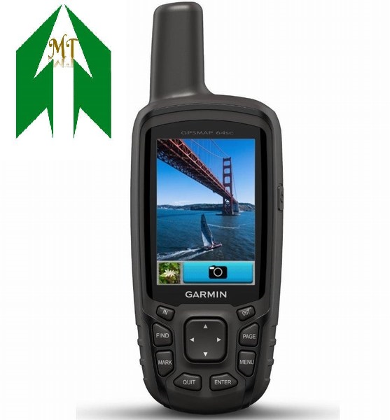
Máy ĐỊNH VỊ CẦM TAY GARMIN MAP 64SC
Máy GPS 62
Liên hệ : 0987831661
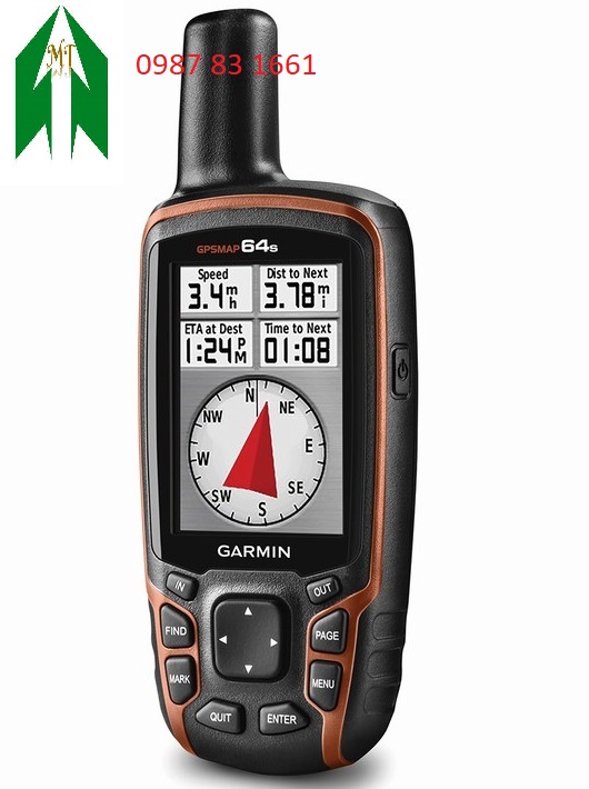
Máy định vị cầm tay GPS 64S
Máy GPS 64S
Liên hệ : 0987831661
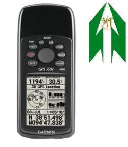
Máy định vị cầm tay GPS 72H
GPS CẦM TAY
Liên hệ : 0987831661
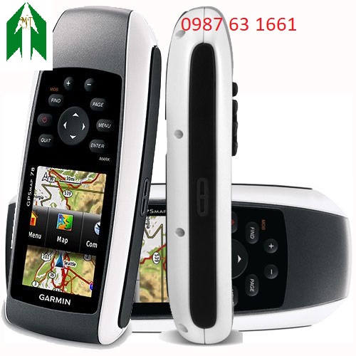
Máy định vị cầm tay GPS MAP 78
Liên hệ : 0987831661
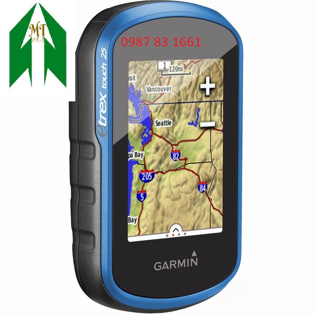
Máy định vị cầm tay GPS Etrex- Touch 25
Liên hệ : 0987831661
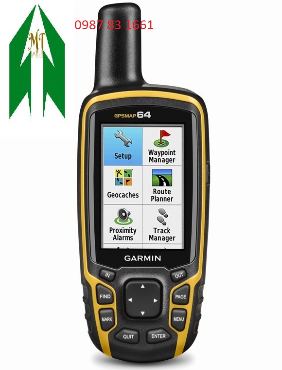
Máy định vị cầm tay GPS MAP 64
Liên hệ : 0987831661
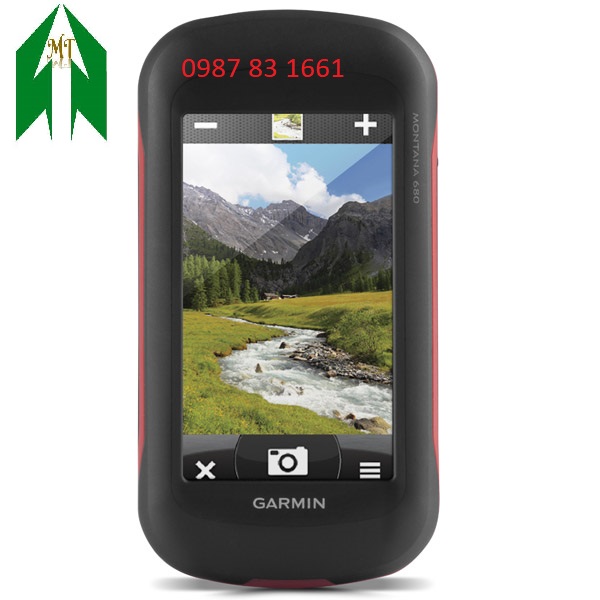
Máy định vị cầm tay GPS MONTANO 680
Liên hệ : 0987831661
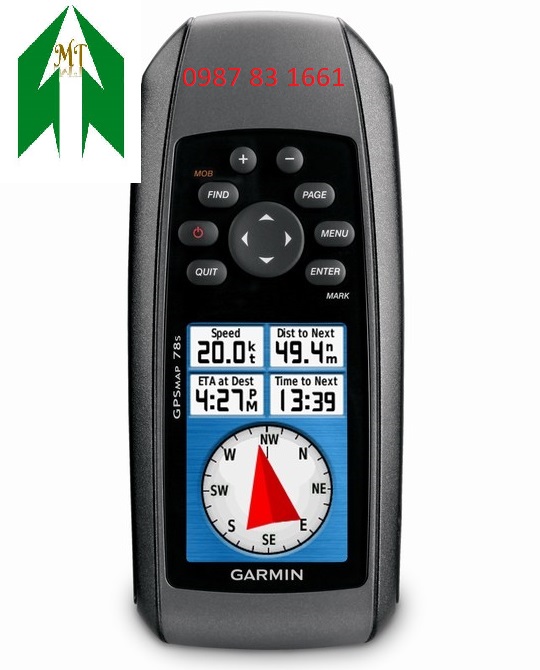
Máy định vị cầm tay GPS MAP 78S
Máy GPS Garmin GPSMA
Liên hệ : 0987831661
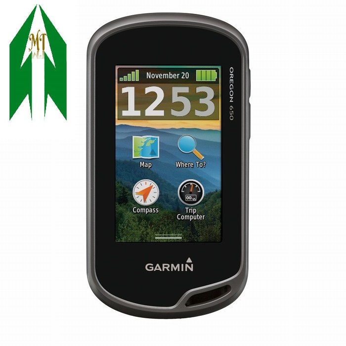
Máy định vị cầm tay Garmin GPS OREGON 650
Máy định vị cầm tay
Liên hệ : 0987831661
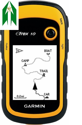
Máy định vị cầm tay GPS Etrex 10
Máy định vị cầm tay
Liên hệ : 0987831661
Hỗ trợ trực tuyến

Hotline: 0987831661
Email: tracdiaminhtri@gmail.com
-
 Kinh Doanh :Điện thoại: 0988.682.136
 -
 Kinh Doanh :Điện thoại: 0988.613.115
 -
 Kinh Doanh :Điện thoại: 0989.224.162
 -
 Kinh Doanh : Kinh DoanhĐiện thoại: 0968.730.135
 -
 Kỹ Thuật :Điện thoại: 0966.047.908
 -
 Hỗ Trợ :Điện thoại: 0987 83 1661